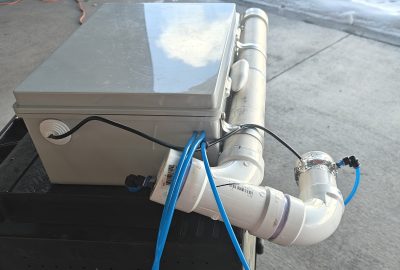
Version 3.2 LATEST – RV-10 Lycoming Engine Dehumidifier and Remote Engine Heat Assembly Tutorial
System Description: I decided to build a system that could be remotely controlled via cellular connected monitoring system that would allow me to pre-heat my engine from home and for a self contained engine dehydration system that can also be monitored from my phone. Basically there are three parts to the system: Cellular/Wifi backbone, Remote outlet to control the engine…
